 Uncommon
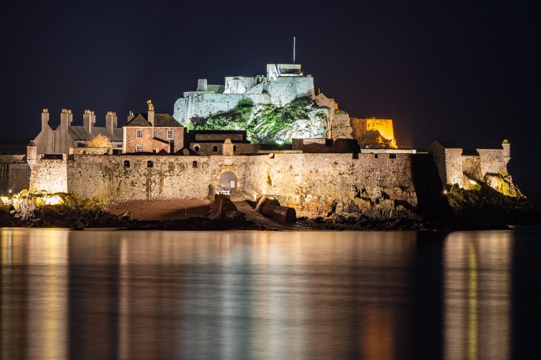
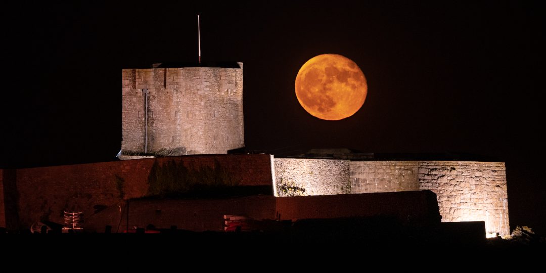
Elizabeth CastleLé Châté LîzabéCastle · St Helier
Tidal · ferry
Safe by the tide
Up to 12 metres of water comes and goes twice a day. At low tide the island almost doubles in size and a moonscape of rock and sand opens up — with towers, castles and islets you can walk to. A few hours later it is all sea again.
9 places in Jersey Quest are marked Tidal. They are some of the best collects on the island — and the only ones that need a plan. One exception: Elizabeth Castle, Hermitage of Saint Helier also has an amphibious ferry in opening hours — afloat at high water, on wheels at low — so you can get there and back whatever the tide.
 Legendary
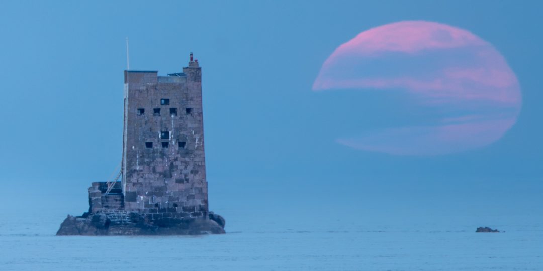
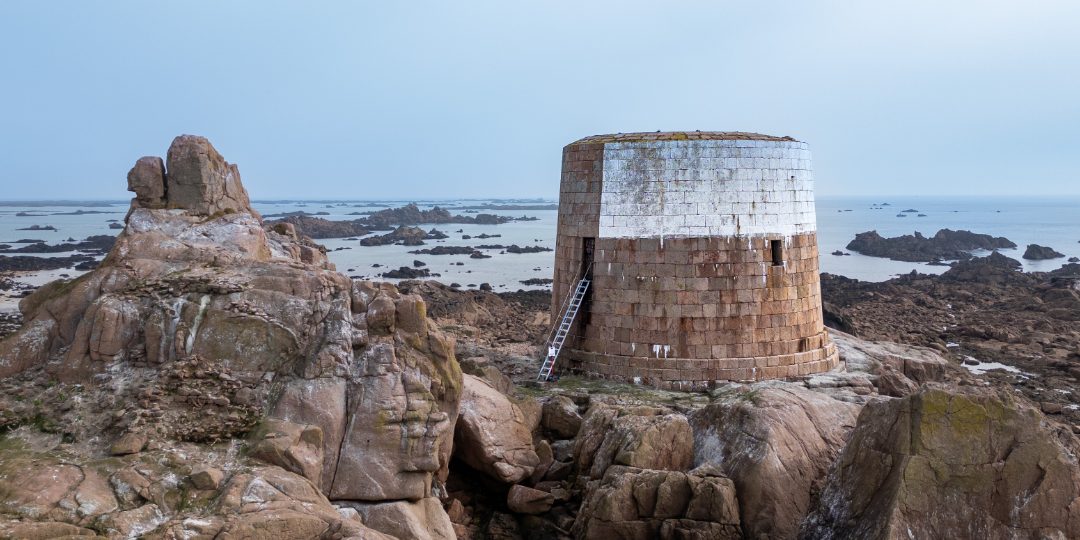
Seymour TowerCoastal tower · Grouville · low tide only →
Legendary
Seymour TowerCoastal tower · Grouville · low tide only →
See the tide move
Two drone shots of the same spot: at mid-tide, and again at low water. Everything you see appear — rocks, sand, the causeway — was under the sea a few hours earlier. That is what "tidal" means here. About Elizabeth Castle →
Look up the low-water time for the exact day of your walk on gov.je tide times. Set out one to two hours before low water, be at the place by low water, and start back around low water — the table below shows how we read it.
On Jersey's flats the tide floods the gullies first, cutting you off from the shore while the rock you stand on is still dry. How fast that happens depends on the place: near the shore you have minutes of warning; out at Seymour Tower the sea can surround you before you see it move. Never wait to "see the water".
It moves faster than you can walk over rock and mud. If the water is moving and you are not sure — do not start; come back on the next low tide.
Seymour Tower and Icho Tower are a serious walk across open seabed, far from the shore. Jersey has qualified walk guides — go with one, or with someone who knows the sands.
In the app, every tidal place shows this warning and a link to live tide times before you set out. Emergencies: dial 999 and ask for the Coastguard.
The official table on gov.je looks like this. Pick the exact date of your walk — not "this week" — and read the two numbers that matter: the time of Low water and the height next to it.
| LW / HW | Local time | Height |
|---|---|---|
| Low water | 04:26 | 2.3 m |
| High water | 10:03 | 10.0 m |
| Low water | 16:37 | 2.6 m |
| High water | 22:14 | 9.6 m |
On this day the afternoon low is at 16:37. We would set out around 15:00, be at the place by 16:30, and be walking back by about 16:45.
From High water the sea falls until the time marked Low water — then it turns and rises again. Most days have two lows and two highs, each a little later than the day before, and the gap between them varies. Everything is about which side of that moment you are on.
Between High and Low water the sea is walking away from you. That is the safe direction: set out one to two hours before Low water and the sand keeps opening ahead of you. Aim to arrive at the place by Low water at the latest.
After Low water the sea is coming in — and on Jersey's flats it fills the gullies behind you first, so you can be cut off while the rock under your feet is still dry. Start back around the Low water time. How much later is still safe depends on the place as much as on the tide: on a short crossing near the shore an hour can be fine; out at Seymour Tower the sea can surround you before you notice it moving. Read the warning for each place, and treat the timing as your own judgement on the spot — never as a rule.
A small number next to Low water (a big spring tide) means the sea goes far out: more places reachable, more sand. A larger number (a neap tide) means much less — over a season the lows range from about 1 m to 5 m, and on a 5 m day the farthest places are simply not there to walk to. Big spring tides also come back faster, so the margin you gain in distance you lose in speed.
This is how we plan our own walks. It is experience, not advice, and it is not a substitute for the official forecast or for local knowledge. Tides, wind, swell and the sands change; predictions are predictions. You alone are responsible for checking the official tide table for your exact date, the weather, your route and your timing — and for turning back early. If you are unsure, do not go. Seymour Tower and Icho Tower: never without a qualified guide or someone who knows the sands. Jersey Quest and its authors accept no liability for decisions made on the basis of this page. Emergencies: 999, ask for the Coastguard.
Uncommon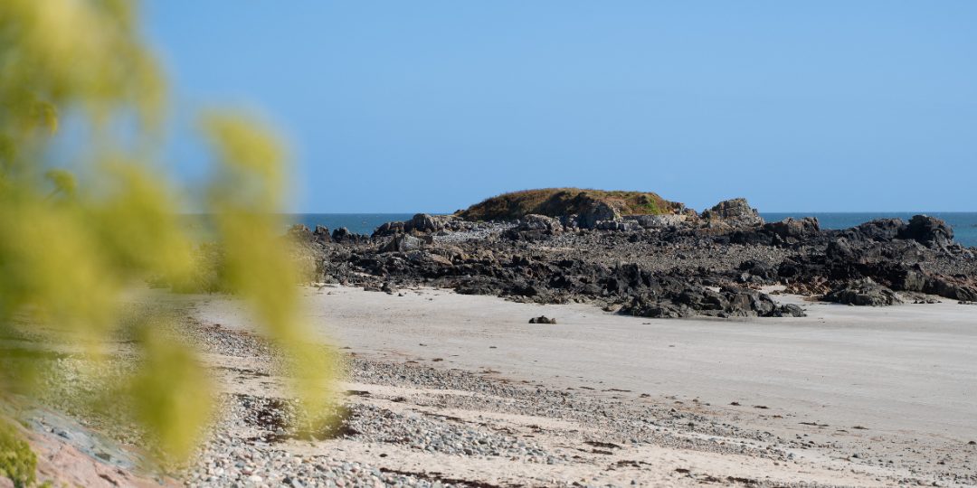 Uncommon
 Legendary
 Rare
Rare
 Rare
Rare
 Uncommon
 Uncommon
 Rare
Rare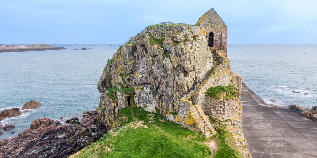 Rare
Rare