North Coast Cliffs · 17 places
Mourier Valley
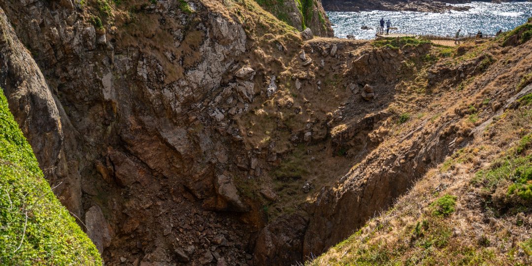
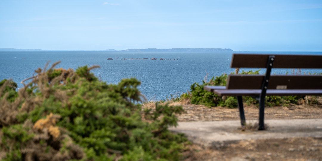
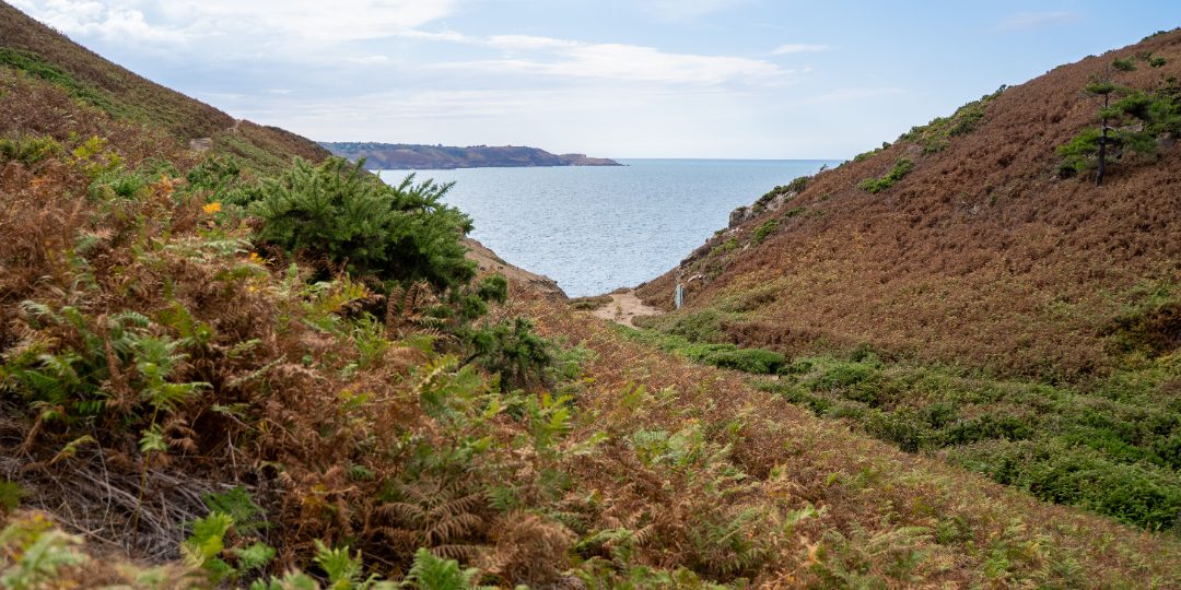
A steep, sheltered valley on the north coast between Sorel Point and Devil's Hole, where a stream runs down to the sea through bracken and gorse.
Featured in: Free things to do in Jersey · The north coast cliff path
Audio guide · a 20-second taste of the story of Mourier Valley. The full guide plays in the app — hands-free, offline, at the place.
0:00–:––
That's the preview. The full guide plays in the app — offline, standing right there. Launching 2026 — follow for the day
The story
A steep, sheltered valley on the north coast between Sorel Point and Devil's Hole, where a stream runs down to the sea through bracken and gorse. The land is managed by the National Trust for Jersey, grazed by Manx Loaghtan sheep to keep the heath open, and the cliffs are nesting sites for seabirds. The coast path crosses the valley on its way along the north coast, and it is one of the least visited stretches of the island.