North Coast Cliffs · 17 places
Sorel Point
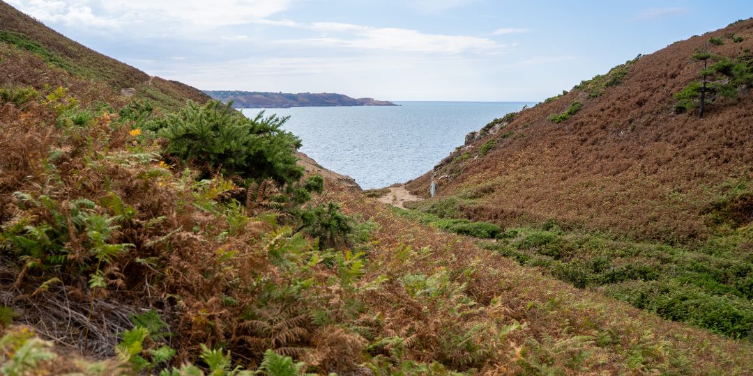
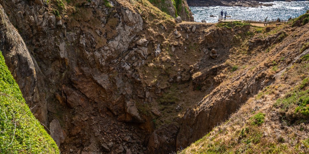
The northernmost point of Jersey, where the cliffs drop straight into the sea and a small squat lighthouse warns shipping off the rocks.
Featured in: Free things to do in Jersey · The north coast cliff path
Audio guide · a 20-second taste of the story of Sorel Point. The full guide plays in the app — hands-free, offline, at the place.
0:00–:––
That's the preview. The full guide plays in the app — offline, standing right there. Launching 2026 — follow for the day
The story
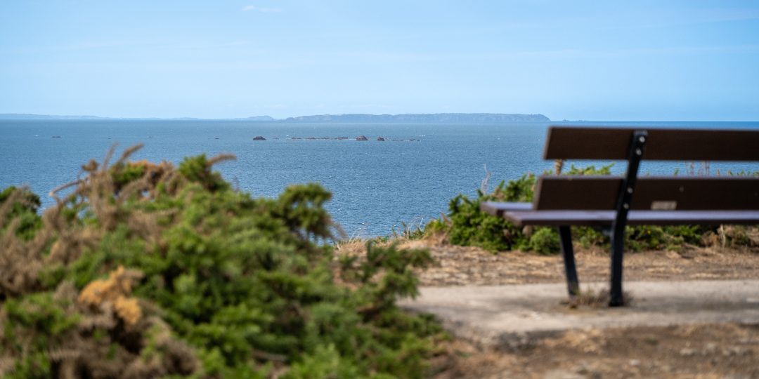
The northernmost point of Jersey, where the cliffs drop straight into the sea and a small squat lighthouse warns shipping off the rocks. On a clear day Sark, Guernsey and Alderney line up on the horizon with the French coast to the east. The headland is part of the National Trust's north coast land, grazed by Manx Loaghtan sheep, and the cliff path runs east past Ronez quarry towards Bonne Nuit and west into the Mourier Valley.