East Coast: Castles & Oysters · 14 places
St Catherine's Breakwater
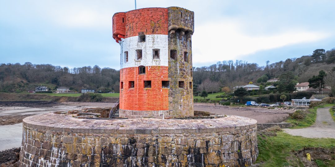
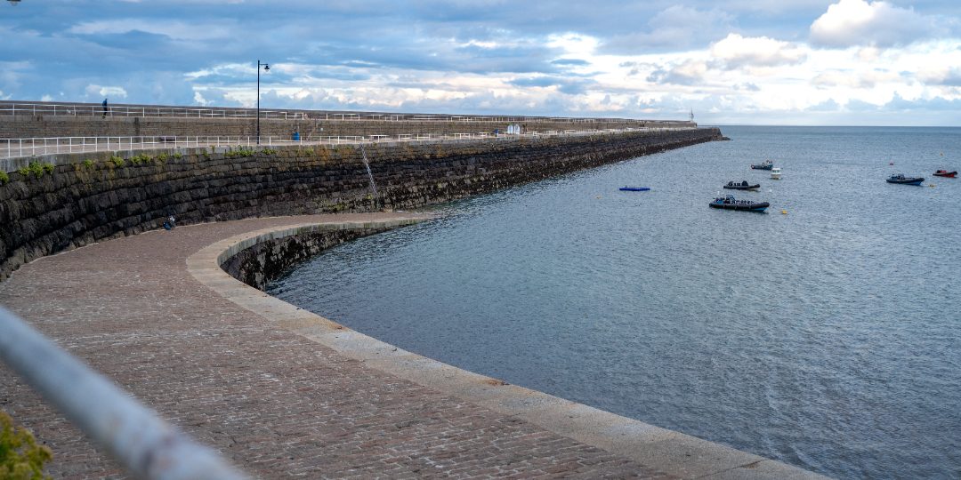
A granite breakwater nearly three-quarters of a kilometre long, begun by the British Admiralty in 1847 as one arm of a 'harbour of refuge' for the Royal Navy in the years when war with France seemed possible.
Featured in: The north coast cliff path
Audio guide · a 20-second taste of the story of St Catherine's Breakwater. The full guide plays in the app — hands-free, offline, at the place.
0:00–:––
That's the preview. The full guide plays in the app — offline, standing right there. Launching 2026 — follow for the day
The story
A granite breakwater nearly three-quarters of a kilometre long, begun by the British Admiralty in 1847 as one arm of a 'harbour of refuge' for the Royal Navy in the years when war with France seemed possible. The southern arm at Archirondel was abandoned, the naval harbour was never finished, and the breakwater was left as it stands today. It is now a favourite walk and fishing spot, with the whole east coast and the Normandy shore laid out from its end.